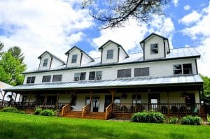
Hiking in the Maine woods
hik
Hiking in the Upper Kennebec Valley Region of Maine
Hikes for all levels and adventurers
TAKE A HIKE!! Climb a mountain, swim in a cold mountain stream, listen to the quiet or see an amazing view from a beautiful open ledge. H
Hiking is a very popular activity along and adjacent to the Old Canada Road Scenic Byway and is supported by a coalition of trail and health organizations working together to build a healthier Maine. Many trails are available in our area, so feel free to contact our local Chambers for details on all the trails within their region. Most of these trails are on private property and State of Maine Public Lands, which is open to the public. In order for these areas to remain open to the public it is important to respect landowner rights, build fires in designated areas, pack in/pack out all trash, take nothing but pictures and leave nothing but tracks. For additional information or maps you may contact a local chamber of commerce.
A suggestion of things to take along: Camera, binoculars, local maps, compass, wind breaker/poncho, bandana/hat, sunscreen/bug dope, sunglasses, snack/water, litterbag and a hardy sense of adventure.
Remember you are out to have fun, test your skills and see the beauty of this area. The following are just a few destination hiking trails in the greater Forks Area of Maine.
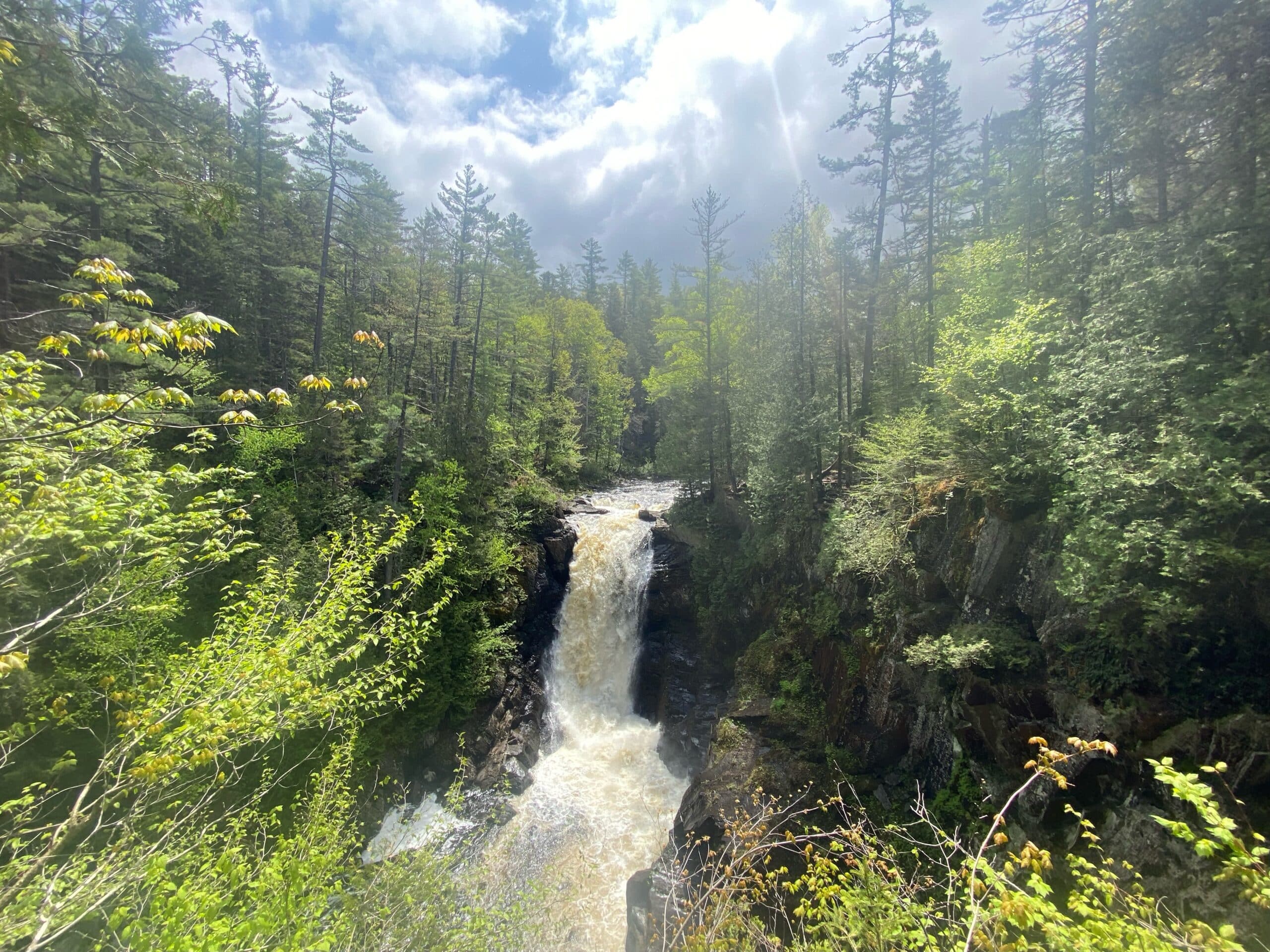
Moxie Falls:
Easy hike on well maintained trails/boardwalk/stairs. Distance: .6 miles
Moxie Falls is the highest falls in New England with a 92 foot vertical drop. Moxie Stream drops from Moxie Pond(elevation 970’) for five miles to the top of the Stair Case Falls(elevation 800’). The next 2000’ from the top of the Stair Case to the bottom of the main falls the drop is 100’. It is a spectacular view in any season and at all water levels. You will find a well maintained trail through mixed hardwoods, many examples of local flora and fauna and the occasional wildlife to include: deer, rabbits, many bird species like hawks and bald eagles. To control erosion on steep banks, stairways and boardwalks have been installed. There are multiple viewing platforms for easy picture taking.
To get to Moxie Falls take US Route 201 to The Forks. At the bridge over the Kennebec River, turn right onto the Lake Moxie Road on the south side of the bridge. At approx two miles there is a sign at the trailhead-Moxie Falls Scenic Area and a parking area for vehicles.
Moxie Bald Mountain Trail:
Part of the Appalachian Trail- Kennebec & Moose River Region
Length of hike: 9.6 miles, round trip from trailhead. Difficulty: Strenuous
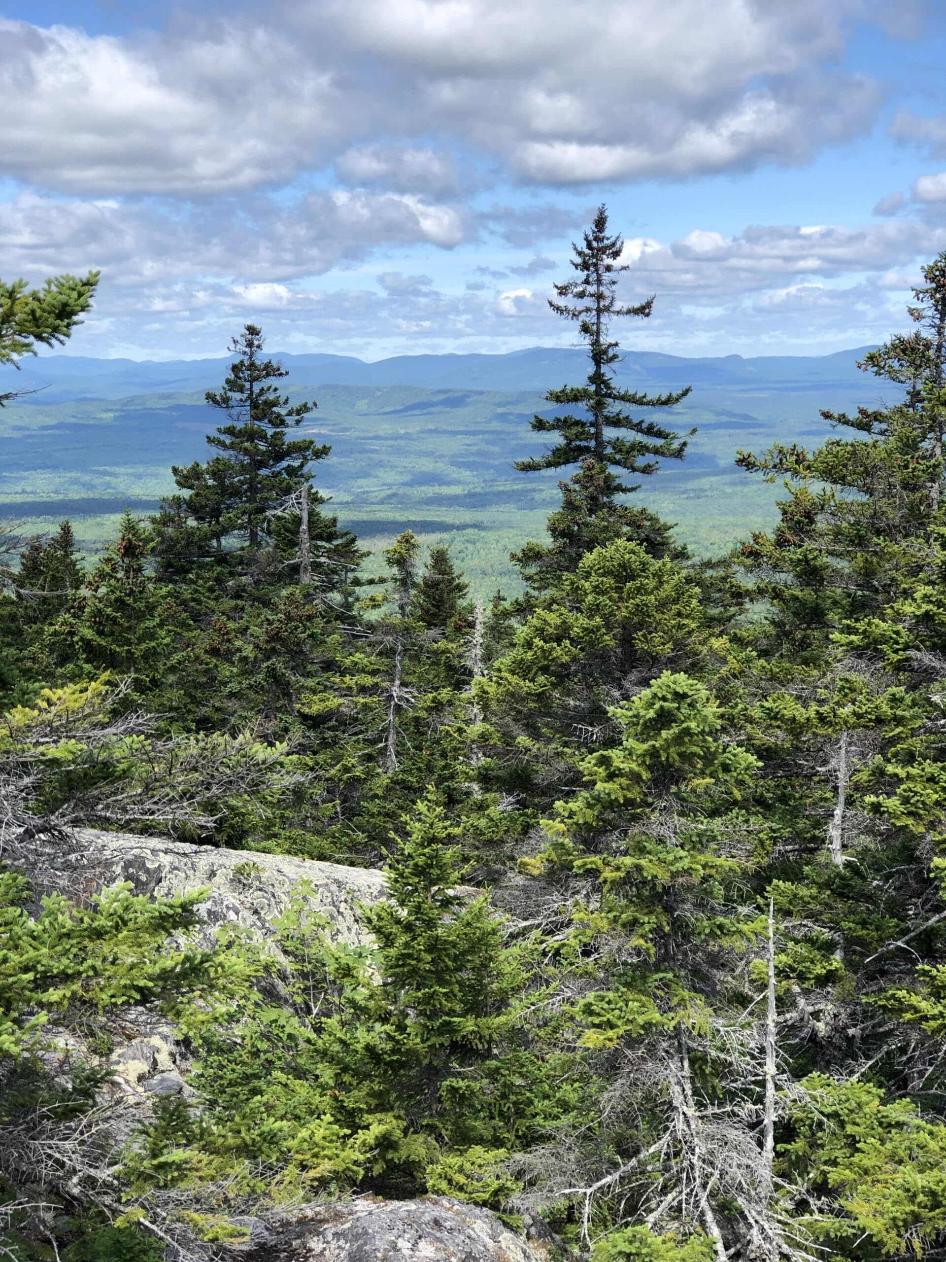
This is a beautiful trail with ledges, moss and spruce covered hillsides. Summit elevation is 2630 feet. Wonderful views of Bigelow, Katahdin , Sugarloaf and Abraham mountain ranges.
Take Rt. 201 north from exit 133 of the Maine Turnpike to The Forks, take right onto Lake Moxie Road, just before the Kennebec Bridge. At Lake Moxie Station/dam, turn right onto the Troutdale Road and proceed approx 8 miles to an AT marker. There is parking on the right. Trail goes off to the left side of the road and crosses a brook. It is one mile to Joe’s Hole Lean- to.
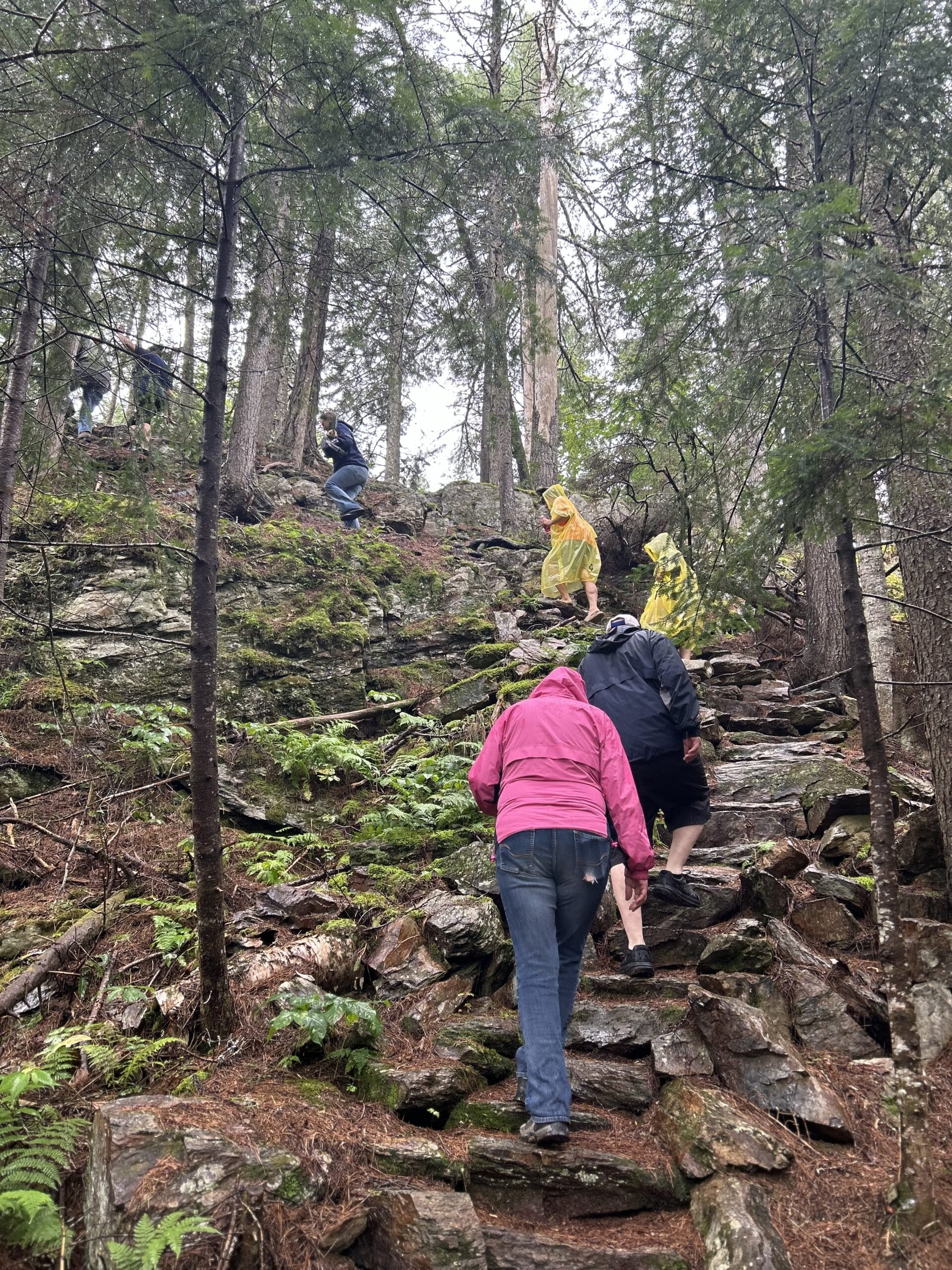
Pleasant Pond Mountain- Part of the Appalachian Trail
Caratunk, ME
Length of Hike: 1.2 Miles from AT Lean- Difficulty: Moderate Elevation: 2477
Pleasant Pond Mountain has an open ledge peak, scattered with small trees and a 360 degree view. Trail is steep in places. There are views of icy cold and deep Pleasant Pond below.
From Skowhegan take Route 201 North to Caratunk. Turn left at the Maine Forest Service Station into Caratunk village. At 3/10ths miles, turn left across from the Post Office and head towards Pleasant Pond, at approx3.7 miles. Road forks-keep left-travel approx 6/10ths of a mile. Pavement ends and the road narrows. At 8/10ths of a mile take the small dirt road to the right onto fire lane #13. At 5/10ths of a mile you will be at the AT Lean-To. Find parking off road.
Grand Falls of the Dead River
West Forks, ME
Length of hike: .5 miles round trip from trailhead (May need 4-wheel for drive in )
Difficulty: Easy to Moderate
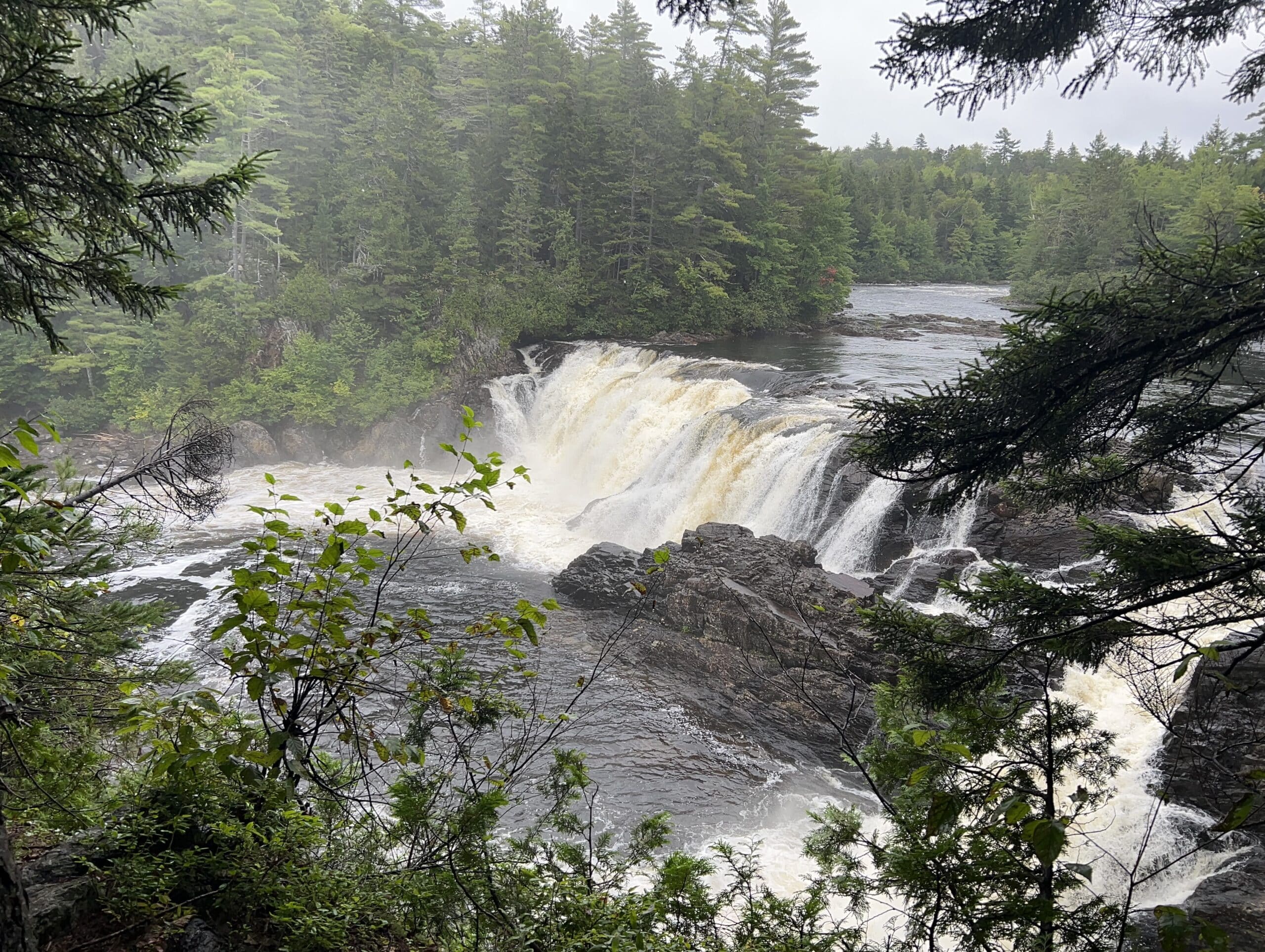
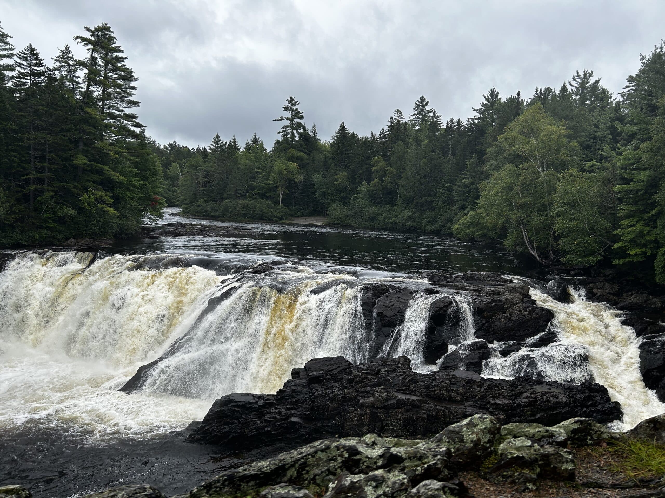
Grand Falls is an amazing waterfall and area unknown to many. These horseshoe falls span 100 feet across and are 40 feet tall, offering an impressive and scenic view anytime of year. The falls are just upstream from the rafting put-in for all whitewater trips on the Dead River.
Grand Falls is also right along Maine’s ITS 89 snowmobile trail – so it’s now as popular a destination in the winter as in the summer.
Maine huts and trails has a hut in the area, however it is is currently closed.
DIRECTIONS: Go North on Route 201 from the West Forks for 2.5 miles, and then turn left onto The Lower Enchanted Road; a dirt logging road. Follow the Lower Enchanted Road to mile 4.7 where the road splits. Stay to the left-split on The Lower Enchanted Road. Continue straight past through intersections and bearing to the left in places wherever the road splits. At approximately mile 14 there is a large clearing and a small kiosk building. Pass the kiosk for a short distance and you will reach The Dead River. At the bottom of the hill you can park your car, and walk across the metal bridge over a stream that empties into The Dead River. Follow the trail along the banks of The Dead River for only a few hundred yards to an overlook of Grand Falls.
CAUTION: Logging trucks have the right of way on these dirt roads. They are owned by private lumber companies who must allow public access, but travelers still must yield to ALL logging traffic.
DIRECTIONS BY SNOWMOBILE: Follow the ITS 86 west to the ITS 89 junction. From this junction take the 86/89 west. After you cross Spencer Stream bridge (a large steel bridge in view of The Dead River), proceed up the hill a few hundred yards and look for the falls on your left.
Coburn Mountain Trail
Between West Forks & Jackman
Length of Hike: 2.9 Miles – 2 hours plus
Difficulty: Challenging Elevation: 3717
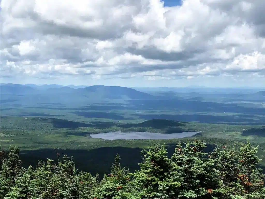
Coburn Mountain is a destination in the winter for snowmobilers when open and in the summer is an amazing and challenging hike. Head out on this 2.9-mile loop trail near West Forks, Maine.This trail is great for birding and hiking, and it’s unlikely you’ll encounter many other people while exploring.
The trail begins near the base of the now defunct Enchanted Mountain Ski Area which closed in the 1970s. At the top of the mountain there is a small observation platform to look out from
Mosquito Mountain
Difficulty: Easy to moderate Elevation: 2215 feet. Vertical rise: 1223 feet
1 to 2 hours, 1.2 Miles.
Mosquito Mountain is a ledge topped gem, with a 360 degree view overlooking Moxie Pond, Moxie Bald Mountain, Pleasant Pond Mountain. Bigelow Mountain can be seen in the SW and Squaw to the NE. Little mountains can surprise you and this one does! Take US Route 201 to The Forks and then take a right onto The Lake Moxie Road, just before the Kennebec River Bridge. Travel five miles to Moxie Pond and take a right onto the Troutdale Road. Follow this dirt camp road approx 2 miles to a pull out where the road and power lines meet. You should be able to see Mosquito Mt from here and proceed to the trail.

Owl’s Head Trail
Jackman, ME Upper Kennebec Valley Region
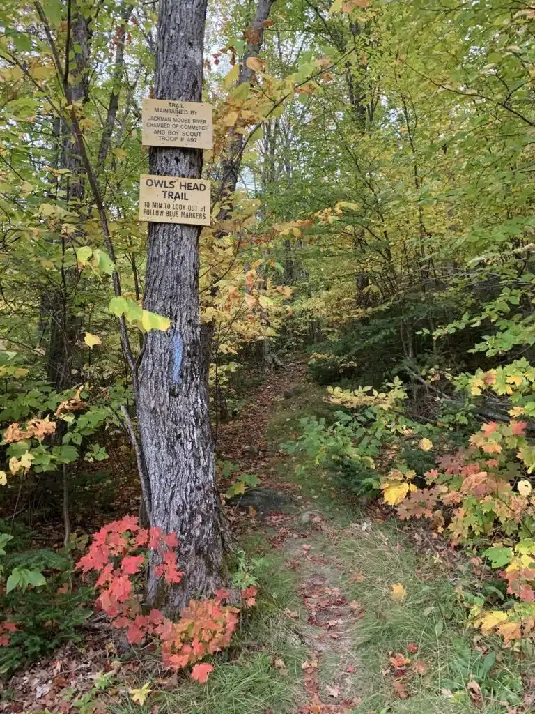
Length of hike: 1.5 miles round trip from trailhead Difficulty: Easy to Moderate
Attean Overlook just prior to entering Jackman, Maine has spectacular views of all surrounding mountains and lakes. This overlook is a rest area with picnic tables and portable facilities and is the beginning of the Owl’s Head Trail. The trail is clearly marked and takes approx 30 minutes. From Skowhegan take Route 201 North to Jackman and watch for the picnic area and large pullout on the right.


